|
I flew with my close friend Micki to Santa Paula, CA in Southern California for an Independence Day gathering at Joe and Vicki's on 02 July 1999. Below are three images were taken during one leg of the flight, from Columbia, CA, to Bishop, CA, across the Sierra Nevada range in Tuolumne and Mono Counties, California. Flight time for this leg was 80 minutes. The weather was benign, which is important for safe flying over the Sierras in a small aircraft, which in this case was a Cessna 172. The route of flight was above Tuolumne Meadows and Lyell Canyon, and then across a saddle at the end of Lyell Canyon just west of June Lake. High altitudes are required not only to clear the terrain but also to maintain adequate height above portions of the Yosemite National Park.The images were taken as jpgs using a Sony Mavica digital camera, and do not have the intrinsic quality of 35 mm photographs.
|
|
|
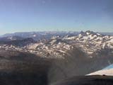 |
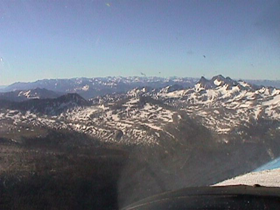
Approaching the saddle at the end of Lyell Canyon, we have climbed above 13,000 ft altitude. Connecting the jagged peak on the right with the somewhat lower peak at center, the saddle is visible through the propeller. Using a topological chart before the flight, we had estimated the elevation of the saddle to be about 11,100 ft. The elevation of the jagged peak, Mount Lyell, is 13,114 ft.
|
|
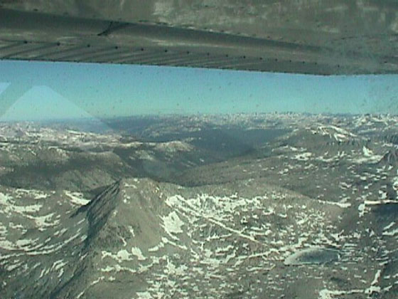
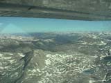
Looking to the northwest over our left shoulders, the route of flight has taken us over the saddle extending from the nearest peak to the left edge of the image. The dark region beyond the peak is Lyell Canyon, descending to Tuolumne Meadows in the distance. The small lake with skim of ice flows toward June Lake and ultimately into Mono Lake. |
|
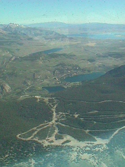
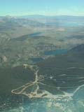
High altitude panorama of the June Lake countryside from the ski area at the bottom of the image out to Mono Lake near the top. A new altimeter setting from Mammoth airport radio put our altitude somewhat over 13,500 ft. |
|
|
|
|
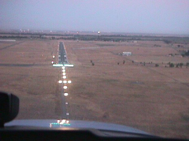
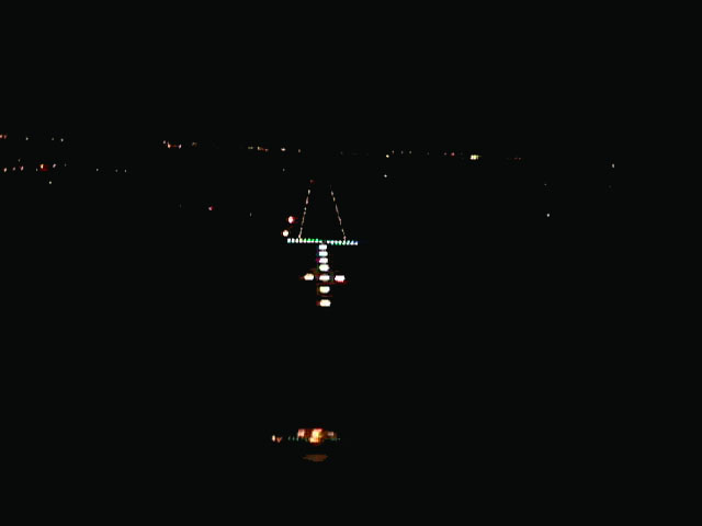
Two images of the Lincoln, CA, regional airport (LHM) at dusk and at night.
|
|
|
|
|